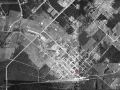
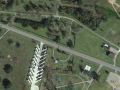
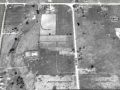
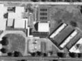
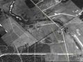
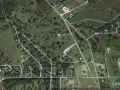
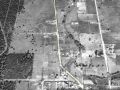
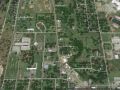
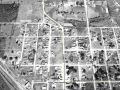
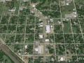
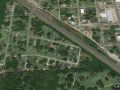
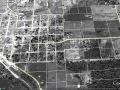
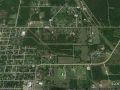
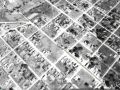
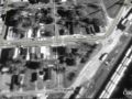
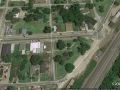
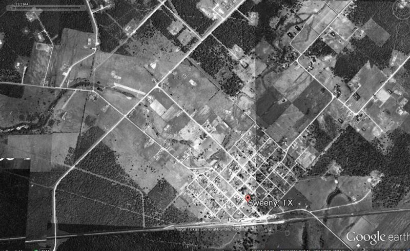
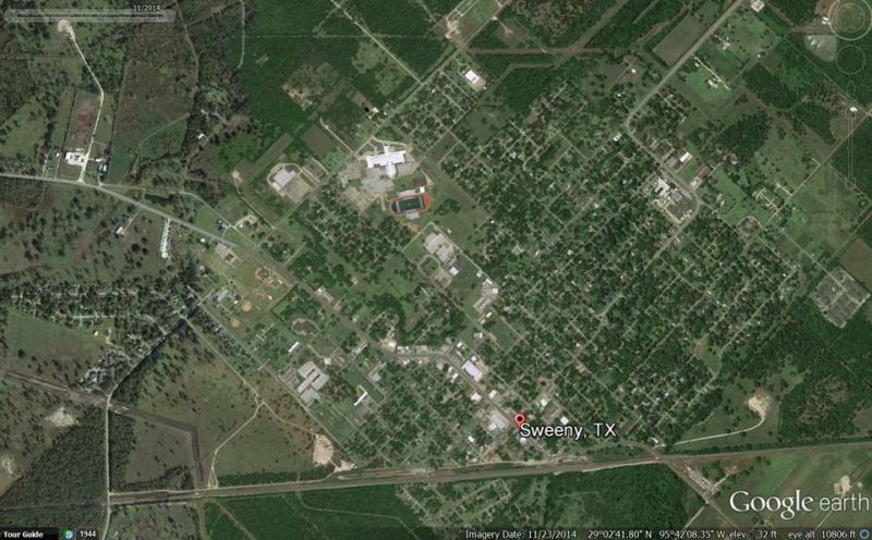
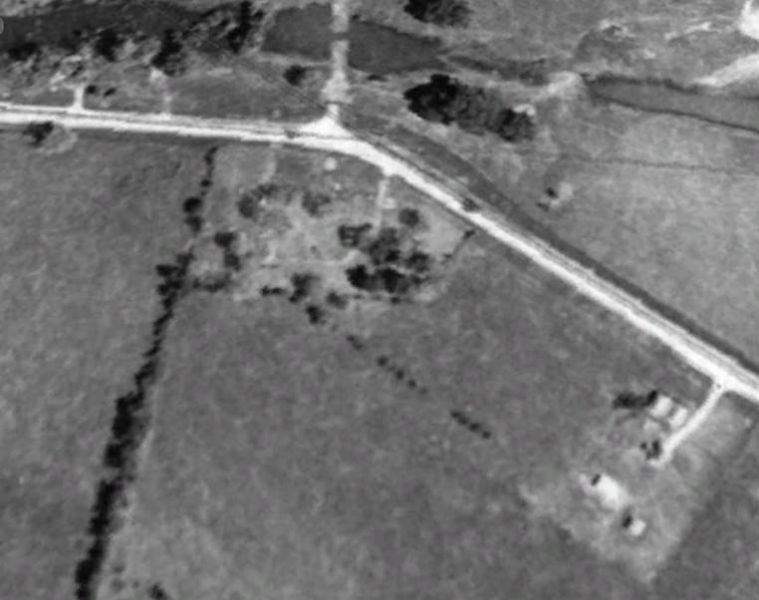
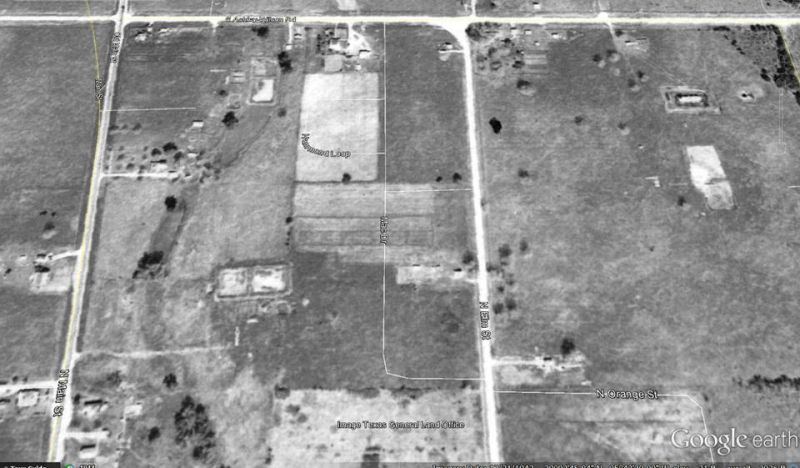
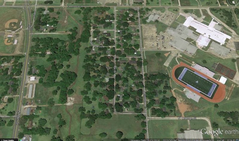
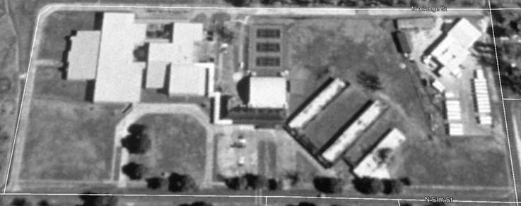
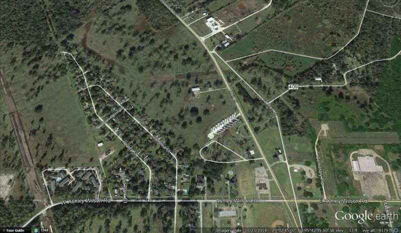
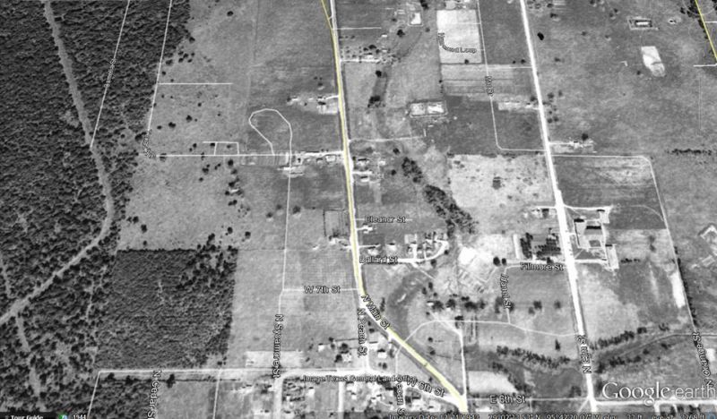
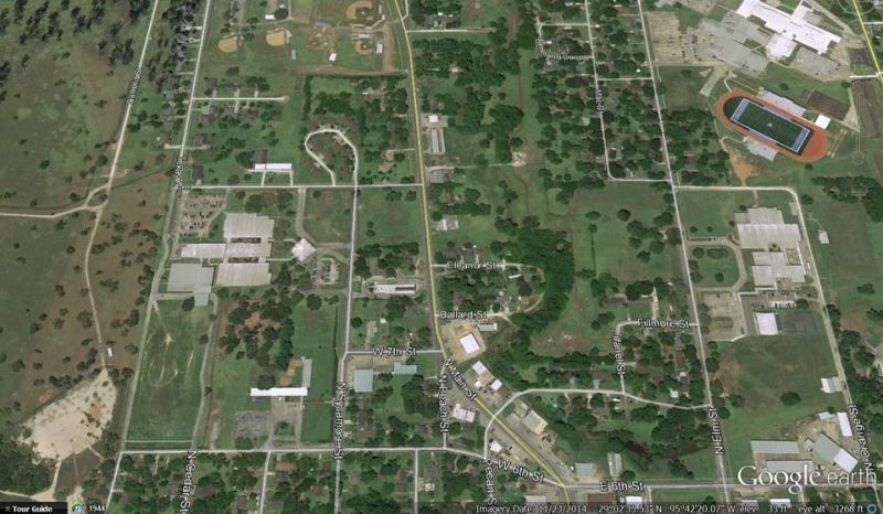
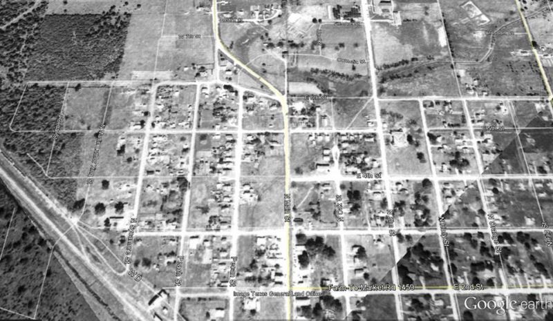
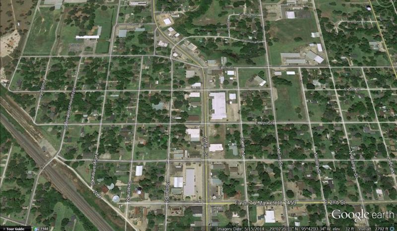
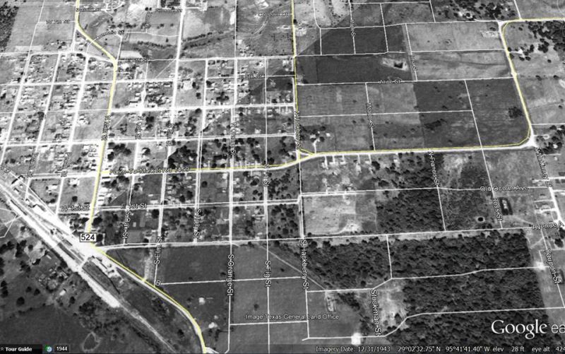
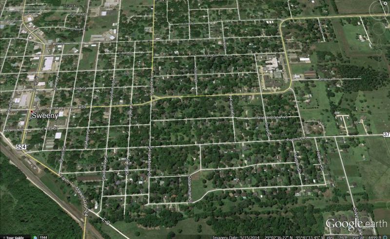
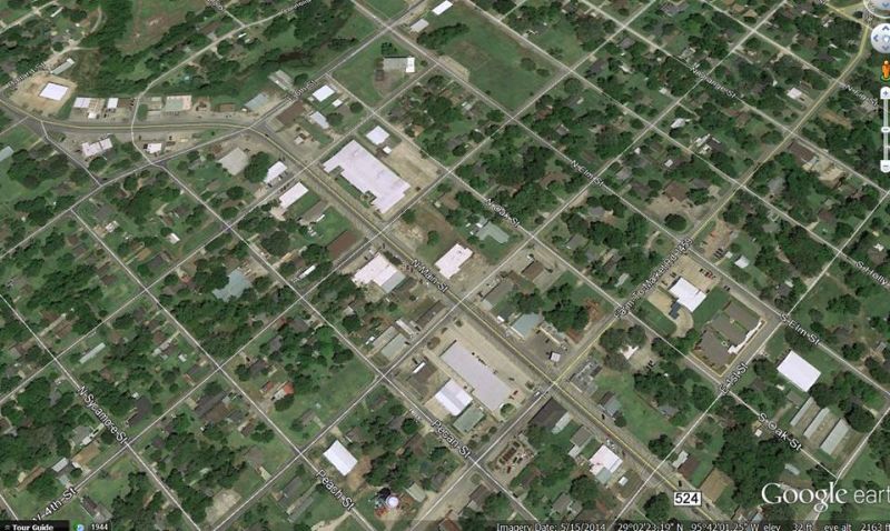
SWEENY 70 YEARS FROM ABOVE 1944-2014 As seen in aerial photographs & satellite images Google Earth

|
|
|
|
|
|
|
|
|

|
|
|
|
|
|

|
|
|
|
|
|
|
|
|
|
|
|
|
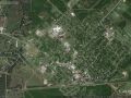
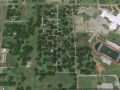
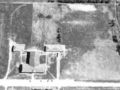
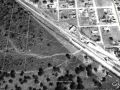
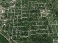
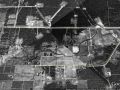
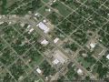
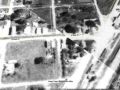
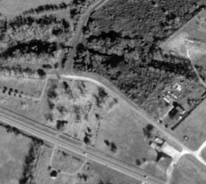
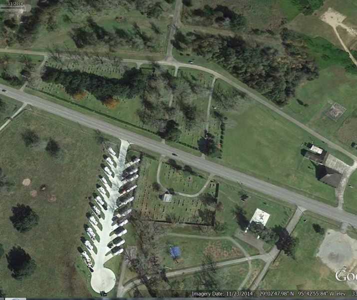
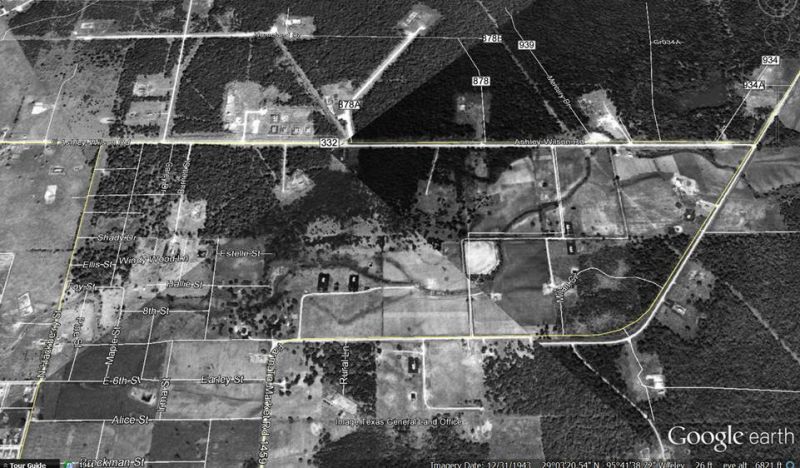
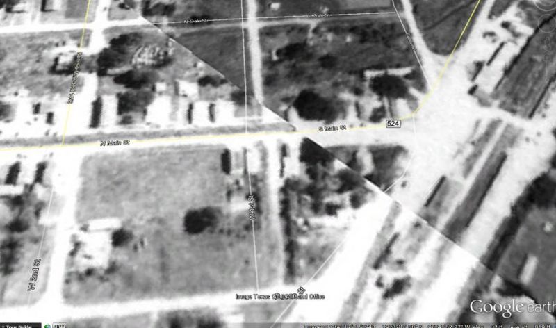
SWEENY 70 YEARS FROM ABOVE 1944-2014 As seen in aerial photographs & satellite images Google Earth
|
|
|
|
|
|
|
|
|
|
|
|
|
|
|
|
|
|
|
|
|
|
|
|
|
|
|
|
|